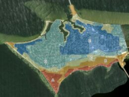
The City of Gulf Breeze's Geographic Information Systems (GIS) division facilitates the collection and curation of the City's asset location data. Maps and other products created from the City's GIS are used as tools in decision-making processes for the City, developers, utility departments, and other city entities. Additionally, the GIS division provides analysis and support to many critical city functions including emergency response, city development, and utility management.
The mission of the GIS division is to deliver high quality geospatial services and solutions to all departments throughout the City, as well as provide informative maps and resources to the public.
Interactive Maps

Contact
Katie Bennett, GIS Coordinator
Hours: Monday - Friday, 7:30am - 4:30pm
Email: [email protected]
Office: (850) 934-4066

PDF Maps
Each map is in PDF format and may take a few seconds to load. If you have any questions, please contact the GIS Coordinator at (850)-934-4066.


